Spatial - GIS Analytics
What we offer
GeoCoding
Geocoding is the process of converting addresses (like a street address) into geographic coordinates (like latitude and longitude), which you can use to place markers on a map, or position the map.
Route Optimization
All businesses and individuals require the best/fastest route from one point to the next. This is mainly used for transportation or delivery to multiple destinations the best route from the warehouse to these clients can be determined and planned. The street network is the base of these calculations, using direction of travel, speed limits and other possible obstacles such as temp road closures.
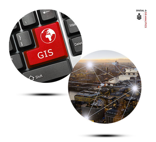
Geographical Information System (GIS)
This is a system designed to capture, store, manipulate, analyse, manage and present all types of geographical data. GIS provides geographical a visual representation.